This guide is about the Dayara Bugyal Trek — dates, price, day-by-day itinerary and booking are on the trek page.
Quick answer: Dayara Bugyal is a high meadow in Uttarkashi district, Uttarakhand, and the trek tops out at Dayara Top, 3,749 m (12,300 ft). The base village, Raithal (2,256 m / 7,400 ft), is 180 km and 8–9 hours by road from Dehradun; Bhatwari, about an hour before Raithal, is the last town on that road with a reliable ATM and a stable mobile signal.
Which state and district is Dayara Bugyal in?
Dayara Bugyal is in Uttarakhand, in Uttarkashi district. The trek page puts it plainly: “The trek lies in the Uttarkashi district of Uttarakhand.” The district administration lists Dayara Bugyal among its tourist places.
“Bugyal” is the local word for open high grassland above the tree line, and the trek page counts Dayara among the largest high-altitude pastures in India. From the top of the trek it names Bandarpoonch, Srikanth, Gangotri I, Black Peak, Draupadi ka Danda, Jaunli and Bakariya Top in the view.
What surrounds the Dayara meadow?
This table lists the places around the meadow, using only what the trek page and the Uttarkashi district page on Dayara Bugyal say about them.
| Place or feature | What it is | Where it sits |
|---|---|---|
| Uttarkashi | District headquarters | 30 km by road to Bhatwari/Raithal, per the district page |
| Bhatwari | Road village with the last reliable ATM and stable mobile signal | About an hour by road before Raithal |
| Raithal | Base village, start and end of the walk | Roadhead at 2,256 m / 7,400 ft |
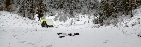
| Gui | The trek's only tent camp, a meadow campsite backed by high peaks | 2,936 m / 9,630 ft, 5 km above Raithal through forest |
| Chilapada | The steep half-hour section of the summit-day climb, in the forest above Gui | Between Gui and the edge of the meadow |
| Gui Lake and Barnala Tal | Two high-altitude lakes | On the Dayara trek; frozen and ringed with snow in winter |
| Dayara Bugyal | Grassland | 2,600 m to 3,500 m, per the district page |
| Dayara Top | Highest point of the trek | 3,749 m / 12,300 ft |
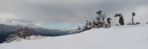
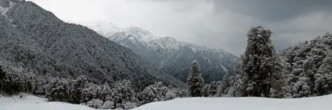
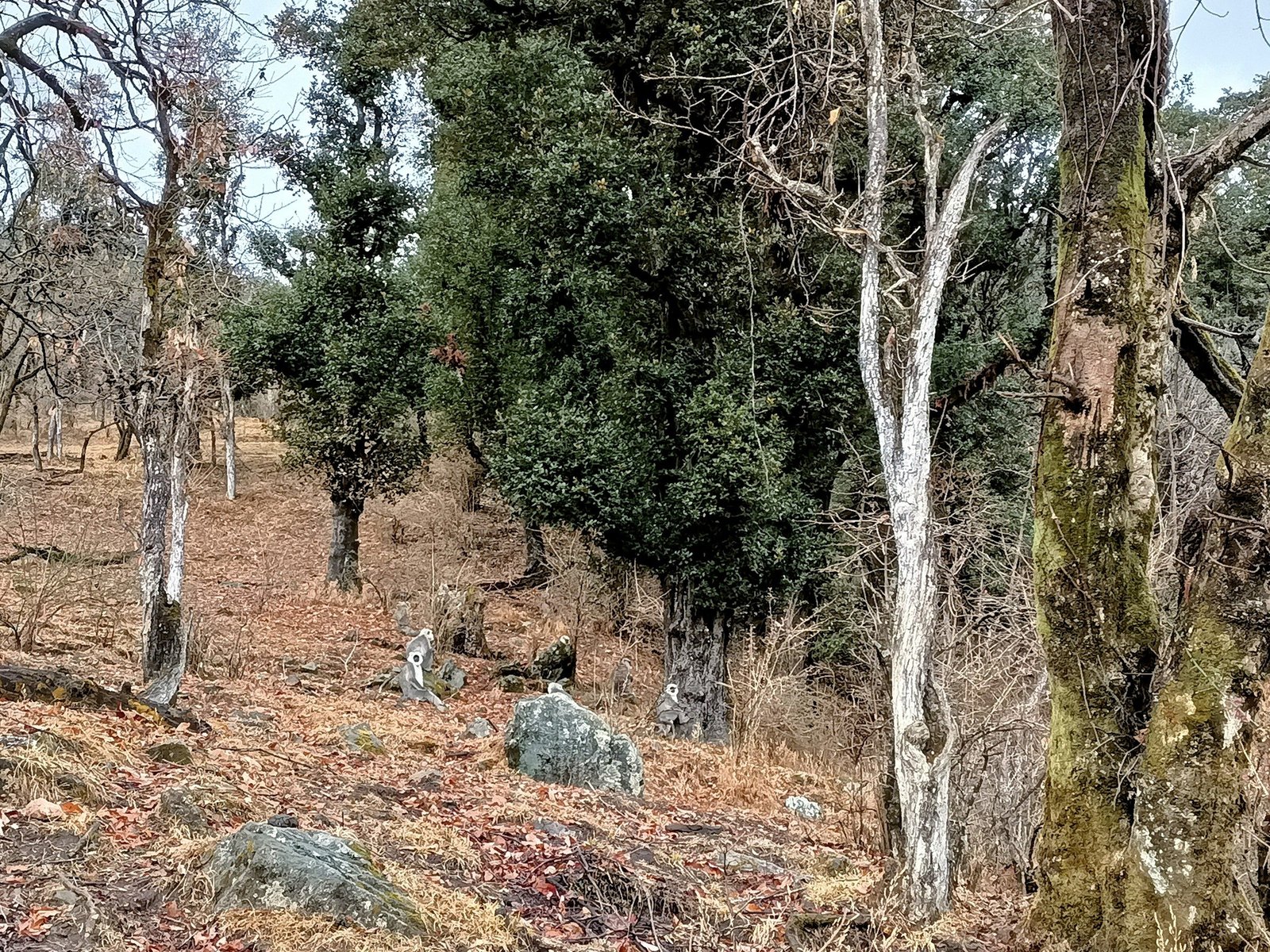
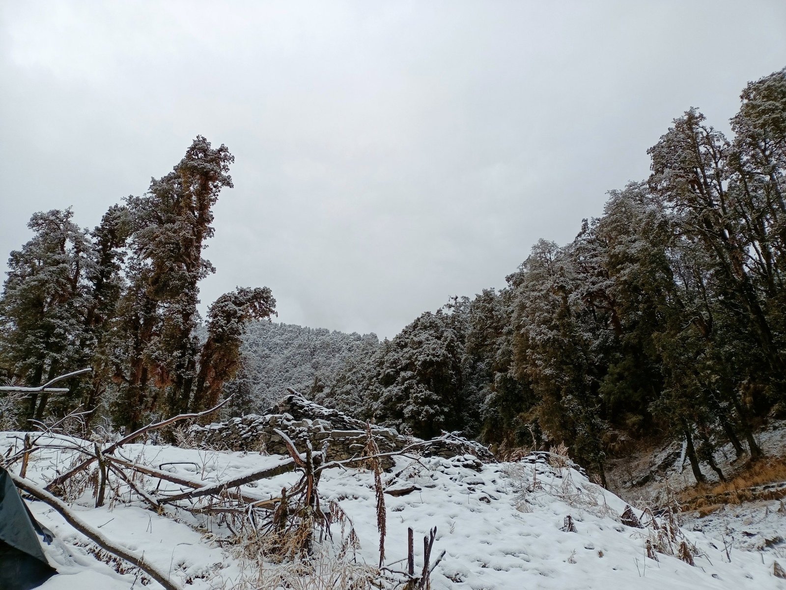
Below the grass, the trek page describes forests of oak, pine, maple and rhododendron, with russet sparrows, Eurasian jays and scarlet minivets in them. The district page adds two seasonal notes: in summer shepherds bring their cattle up and stay until winter sets in, and in winter the meadows turn into snowfields.
What do you see from Dayara Top?
The trek page splits the summit-day climb into two parts. From Gui the trail takes about 2–3 hours to reach the edge of Dayara Bugyal, where the forest ends and, in the page's words, the hidden mountains Bandarpoonch and Kala Nag (Black Peak) become visible. From there it is about another hour across the open grass to Dayara Top.
At 3,749 m the page gives a 360° view of the Garhwal range with, in its list, Bandarpoonch, Srikanth, Gangotri I, Black Peak, Draupadi ka Danda, Jaunli and Bakariya Top on the skyline. In winter it describes snowfields running out to meet the peaks; in summer, green grass. The meadow itself is the reason for the trek: once you leave the trees, the grassland rolls away in every direction, with the range lifting above the far edge of the grass.
Lower down, the mountains come in pieces. Clearings in the forest on the climb to Gui give the first look at snow peaks. At Gui, the trek page says the snow summits turn orange and gold at sunset, and the night sky is clear enough for stargazing. On the walk down to Raithal the trees open on glimpses of terraced farms with the Garhwal peaks behind them.
Where is Raithal, the base village?
Raithal is where the road ends and the walk begins. The trek page calls it “a Himalayan village in Uttarkashi district and the base camp of the trek”, with views of snow-clad peaks, and the district page says the trek route starts from Raithal village. The path out of the village climbs past houses and fields before entering the oak, pine and rhododendron forest on the way to Gui.
Signal at Raithal is weak to non-existent, and Bhatwari has the last reliable ATM, so carry the cash for your cab share from Dehradun or Bhatwari. The village has a few small shops for basic trekking items, but the trek page asks you to arrive with everything you need. Your first night is in a guesthouse or homestay there, triple or quad sharing, with dinner included.
How do you get from Dehradun to Raithal?
By road, in one long day: 180 km and 8–9 hours each way, through what the trek page calls winding mountain roads, valleys and river crossings, past pine forests, small hill towns and terraced fields. Bhatwari, about an hour before Raithal, is where the page tells you to withdraw cash and make your last calls; after it the signal fades. There is no direct government bus to Raithal.
Transport is not part of the trek fee: Trekkaro helps the group book a shared cab from Dehradun Railway Station, about ₹6,500 per 5–6 seat vehicle each way, paid to the driver and split among the trekkers in it. The pickup time, the return drive and the full breakdown are in Dayara Bugyal trek cost.
Is there an airport or railhead near Dayara Bugyal?
The nearest airport is Jolly Grant Airport (DED), which the Airports Authority of India's Dehradun Airport page lists under Dehradun, Uttarakhand. The trek page puts it about 25 km and 45–60 minutes from Dehradun city and advises flying in the day before. The railhead for this trek is Dehradun (DDN), which is also the cab's pickup point; the trek page names the overnight Nanda Devi Express from Delhi as the train that arrives in time. The district page lists Rishikesh and Dehradun as railheads about 200 km from Uttarkashi.
How far is the meadow from Raithal on foot?
About 20 km over three days: 5 km up to Gui in 3–4 hours, with about 680 m of height gain; a 10 km round trip from Gui to Dayara Top and back in 8–9 hours; and 5 km down to Raithal in 2–3 hours. Each stretch, with its distance, hours and height gain, is laid out in Dayara Bugyal distance and height.
Which months is Dayara Bugyal open?
The trek page's season line reads: September to June, with December to March for snow. Trekkaro does not run Dayara Bugyal in July and August. From December to March the trail to Dayara is under snow; from April to June the meadows turn green, with full bloom in May and June; September to November brings the clearest views of the peaks. See the trek page for live batch dates.
The fee is ₹7,800 + 5% GST, which is ₹8,190 per person from Raithal to Raithal; the trek page lists what it includes and excludes.
See Dayara Bugyal dates and book | Dayara Bugyal trek guide | Dayara Bugyal weather
Frequently asked questions
Is Dayara Bugyal in Uttarkashi or Tehri?
Dayara Bugyal is in Uttarkashi district, Uttarakhand. Both the trek page and the Uttarkashi district administration place it there.
Which village is the base for Dayara Bugyal?
Raithal, at 2,256 m (7,400 ft), is the base village where the walk starts and ends. You spend the first night there in a guesthouse or homestay before climbing to the Gui camp.
How far is Raithal from Dehradun?
Raithal is 180 km from Dehradun by road. The drive takes 8–9 hours in each direction.
Which is the nearest airport to Dayara Bugyal?
Jolly Grant Airport at Dehradun, about 25 km and 45–60 minutes from the city. Fly in the day before, because the cab to Raithal leaves Dehradun Railway Station in the morning.
Are there lakes near Dayara Bugyal?
Yes. The trek page names two high-altitude lakes on the trek, Gui Lake and Barnala Tal, which freeze within a ring of snow in winter.